Manchester Centre-Etihad Stadium official footpath
Walk from the centre to the carless stadium and/or the Coop Live
Where?
Get there
-
Public Transport
 Bus/Train/Tram
-
Private Transport
 City parking
- Distance1.9 miles
Review
This is an official transport walk route. Built in 2002, in 2019 maps were promoted, and further development announced in 2024. Pros,
At the stadium end, an off‐road path
At the stadium end, some expensive and fun artwork
Cons,
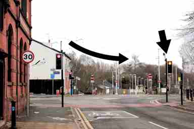
No signage until Holt Park tram stop (and there not clear, see our access photo and walk by the tram platforms)
(the alternative) Every Street is wide but a stub into Manchester inner ringroad
Merrill Street is not a legitimate path and can dump you on waste ground
‘Manchester 14 mins!’? Piccadilly Station/Gardens is another fifteen mins
Off‐road only after Holt Park
On event days the walk is well‐lit and can handle many people. On non‐event days and in daylight, more interesting and pleasant is our walk through the backstreets and along the Ashton Canal.