GPS Help
This site offers GPX files for download. These can be used to display a map‐line in a phone app (know what you’re doing? Try the GPS app reviews).
What is GPS, and what are GPX files?
GPS stands for Global Satellite Positioning, which means your smartphone knows ‘where it is’. But the word has become a password for working with portable computers and maps. GPX files contain the locations of a map‐line. Many apps/programs can load the file then show the path on a map.
Should I use this website or an app?
…you put maps on the website anyway?
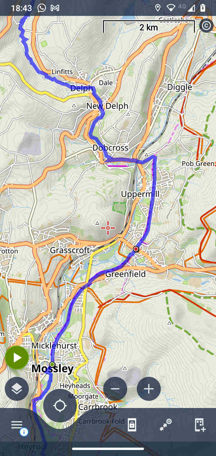
Yes. And always will, so you can see the area we review. But strip the maps of information so they will load quickly.
Use of Google/Apple/OpenStreetmaps
If you plan to walk further, it is helpful and fun to look round a full map. You can plan where to start and stop, to catch a bus/train etc. For this, you can use a general web application.
So why use an app?
To download maps for use off‐line
…so you will never loose the map in bad weather
Because general web apps can not load map lines
…not easily, mostly not at all
To help navigate
For example, find paths in a housing estate, or tell you where to turn on an empty moor
To get extra information
If you’re sporty, different apps can tell you how far you have travelled, your speed, height above ground, calories burned, and so forth
For helpful aids
Such as alternate/specialist maps or speaking directions out loud
The GPX map lines on this site
Why would I want GPX map‐lines from this site?
They’re accurate—the people who make this site walk the routes (so‐called ‘Rights of Way’ are often broken). And because they’re precise—plotted on modern OS maps, usually within 5 metres.
I’m going to upload your data to Google Maps (or some other website) then call it a route!
Can’t stop you. The makers of this site don’t care so much, because the map lines are not planned ‘walk routes’. But you stole our work and didn’t credit this site. There’s some maladjusted people in this world.
Using GPX file downloads
Can I see these map‐lines in Apple or Google Maps (or OpenStreetMap)?
No. For security reasons, web‐browsers disallow uploading to a browser. If you find information on the web, that’s because the authors are explaining how to upload the information for websites.
So how do I see the map‐line?
You need an app for your phone, or a website that allows an upload. The app or website will show the map with the line plotted on it.
This sounds interesting, but bewildering!
True. There are many programs, which run in many places. To start, these kinds of programs can upload GPX files,
Route planning gadgets, like handheld direction or car‐navigation gadgets
Maybe you already use a gadget to track your fitness, or have one in the car. These gadgets can almost always display map‐lines from GPX files
Smartphone apps
Like Google and Apple Maps, these display a map on your smartphone. You need an app that can upload a GPX file
Creative smartphone apps
Worth mentioning. Many smartphone apps use the phone to record where you have travelled. This may be of interest… but recording ability will make the app more complicated
Computer apps/programs
There are some programs for computers that work like phone apps. They are often GPX editors. However, these are sometimes full map editors…
Map editing apps for computers
These things are gigantic and unusable for planning. They won’t run on a smartphone. But yes, if you were running one, it can for sure plot a map‐line from a GPX file
Websites
Some websites can upload a GPX file then display on a map
Too much to bother with!
Ok. To get you started, we’ve written some reviews of GPS/GPX apps
I’m looking round an app shop for apps for my phone, what do I look for?
Search for ‘GPS app’. If too many results, try search for ‘GPX app’. Also, the people who make the apps are poor at telling you what the app can do. Try read the comments, or download the app.
Other things to look for?
The kind of display you want. If you are a mountain‐biker, you want an app that gives you elevations and speaks instructions. If you are a fell‐runner, you want detailed maps and to know distances and speed. If you walk, you likely want your app to be quiet, to not use power and work even when the internet is failing.
Other things to look for? An ability to create routes (as noted above, you may or many not want this), to download maps so you don’t need internet, and good map coverage (some apps are better in some places than others). Things to avoid are builtin adverts (which waste battery power and get in the way) and apps that charge subscription per map—this is not for everyone and can become expensive. And aim for simplicity. The more complex an app, the more likely it is to use battery power and break down when it is raining.