Notes
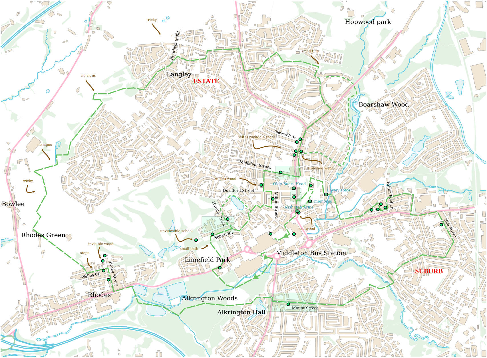
Langley East–Rhodes
Path exists but tricky. Get to Rhodes somehow. Hint: try a satellite view
Langley
No through‐bus. South is fenced for executives, north is farmland A‐road. Marked path is passable, but hard to follow and 1/2 mile extra. Alternative—straight through to end of Windermere Drive
Rectory St.–Milton St
Tiny estate alley at end Rectory St. branch
Sefton St.–Wood Rd. (alternative path)
Cross St. At end, footpath left‐ish through buildings (to Weaver Rd.)
Limefield Park
Walk north to 1/3 right of the tree‐line—there’s a path through
Bus station
Avoid shopping centre. West onto big road, pedestrian crossing, 100m south‐east to Alkrington Wood
