GPS Apps
Apps that can show walk lines downloaded from this site. These are not recommendations, they are reviews. The reviews lean towards GPX file input and use for walking. From comments, it is clear that users who complain about apps are often expecting features when they have an unsuitable app. We hope the reviews will help shape what to look for.
Android
At the time of writing, over 200 apps are available for Android‐based phones.
Alpine Quest Off‐Road Explorer
website
https://play.google.com/store/apps/details?id=psyberia.alpinequest.full
cost
Free (Lite)/£8:99 (Pro)
default map
OpenStreetMap
maps available
Google/Bing/OpenStreetMap/USGS (USA)/Uploadable
map download
In‐app (Pro)
adverts
No
Fast. Main menu features map selection, placemarks and compass but no ‘jump to location’. If enabled, ‘Follow current position’ will lock to GPS… performs measurement if map is moved from current location (unusual, a use‐case, can be switched off). Two‐finger drag down tilts the map. Only Pro version can upload GPX. GPX loads stored under ‘Placemarks’. Informative large displays, I couldn’t switch off, but admit options are well‐considered. Basic interface, confusing menu rotates, but organised and maybe clearest tested. Reviewers say excellent for placemarks and recording—a multi‐purpose tool.
GPX Viewer
website
https://play.google.com/store/apps/details?id=com.vecturagames.android.app.gpxviewer
cost
Free/£6.49 (Pro)
default map
Google
maps available
Google/OpenStreetMap/OpenWeatherMap/Stamen/OPNKarte
map download
In‐app (Pro)
adverts
Yes
Very slow. Several other maps, such as weather maps, available for purchase. Main menu features a prominent multi‐purpose location button and GPX switching. Hidden in ‘Settings’ are many options. Menus wrap round, which confuses. Interface is organised for purpose. Dedication makes the clearest usage.
Locus (Map 4 Outdoor Navigation)
website
https://play.google.com/store/apps/details?id=menion.android.locus
cost
Free (trial)/€10 (subscription)
default map
LoMaps, Google, OpenStreetMaps, and more
maps available
LoMap, OpenStreetMap
map download
Many, and paid options also
adverts
Yes
Very slow. LoMaps are a manufacturer rework from unknown sources (OSM?)—they are clean and detailed. Access involves a logon, which may be helpful, may be annoying, your opinion? Within the app, a vast array of maps available for payment, including country specials such as Ordnance Survey (British) and many more. Builds a library of selectable GPX route imports, may be helpful for frequent use. Main menu features map‐lock and and a location find/marker submenu—a use‐case. Every interface option you can imagine, including reconfiguring the menus themselves. This makes the menus deep, though compact presentation. The power option.
Routes
website
https://play.google.com/store/apps/details?id=de.flosdorf.routenavigation
cost
Free
default map
Google
maps available
Google, OpenStreetMap
map download
Some downloads
adverts
No
Slow. Main menus feature a zoom slider, jump to location, recording button, and a use‐case oddity, a ‘reverse route’ button. Few but useful options . Perhaps the tidiest interface encountered. Free, dedicated, tidy.
Also
Simply Walking
website
https://play.google.com/store/apps/details?id=com.ycsiresearch.fitnessapp2
cost
Free
default map
Google
maps available
Google
map download
No
adverts
No
This app is reviewed not because it can show GPX files, but to show how different these apps can be. Mine is an old version (I think this is the same app). Anyway, it’s a pedometer, so the only live display is times, distance and calories burned (can also be displayed as graphs). It records where you are walking, gathers the paths into an editable list. Afterwards the paths can be displayed on Google maps. Map display of paths is very slow, but do you care? Interesting, the paths can be exported by sending the GPX to an email address. The app features a very prominent ‘Start/Stop’ toggle button. A handful of options are also available. The interface is easy to use, especially the big button. Useless for navigation, but good at it’s job and, due to it’s dedication, better at recording routes than any of the apps above.
Websites
There are always many websites that can display a GPX file on a map. They tend to be free of charge, with minimal facilities and littered with advertising. They come and go.
GPS Visualiser
website
cost
Free
default map
OpenStreetMap (with shading)
maps available
Mostly OpenStreetMap, but National Geographic and country maps also
map download
N/A
adverts
Many
Has been online a long time. Reasonable speed. Supports many file inputs. Only notable option is ‘Jump to current location’. Too small and limited for more than an overview, but many people use it.
GPX Planner
website
cost
Trial/£25 subscription
default map
OpenStreetMap
maps available
OpenStreetMap (some other options on payment)
map download
N/A
adverts
No
Reasonable speed. Mainly intended to create/edit GPX files, though even the trail version can upload them. Can split/join and display many routes. Most options are for editing. An outstandingly clear interface, would be good in an app, remarkable for a website. You may prefer a standalone computer application for this kind of work, but as a browser‐based application, outstanding.
GPX Studio
website
cost
Free
default map
Mapbox
maps available
Mapbox, OpenStreetMap
map download
N/A
adverts
No
Slow. Mainly intended to create/edit GPX files. Most options are for editing. Interface has very small buttons, which are either tidy or annoying, could be said also of the large, not removable elevation display. Good enough to use as a supplement to a general web‐map application.
Desktop Apps
There are some apps for desktops. Mostly, they are editors. For our purposes, viewing, you need to stay away from full map editors like ARCGIS and QGIS, because they are overloaded and unusable. Still, as a suggestion,
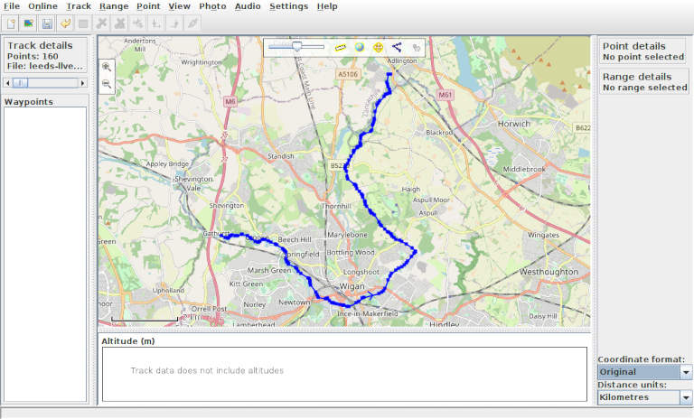
GPXPrune
website
cost
Free
default map
OpenStreetMap
maps available
OpenStreetMap
map download
Yes
adverts
No
This is one of those tweaky Open Source programs, but it’s a Java program and should run out of the box on any (ok, most) computer systems. As a desktop program downloading through a domestic internet connection it’s very fast, even with online OpenStreetMaps. Uses an excellent version of OpenStreetMap with buildings and cased roads. No jump to location and tracking, because that’s not the aim. But every other facility you could think of, and some you may not, such as swivelling 3D maps (only basic with this site’s GPX files, as they do not include elevation information). Menu‐centred interface is, compared to phone apps, much easier to use. A demonstration of how compromised the phone apps are… but the only reason to try in our case is to show a GPX line, so probably not enough to replace a visit to one of the big web apps.